
Tamil Nadu: Cyclone Akvan To Trigger Rain, Chennai To Witness Thunderstorms
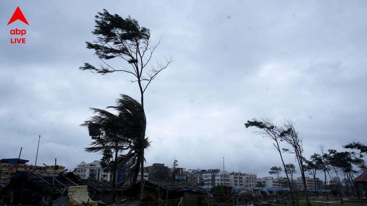
Chennai: Several parts of Tamil Nadu, including Chennai and neighbouring districts, are likely to experience rainfall accompanied by thunderstorms, lightning and gusty winds over the next two days under the influence of Cyclone Akvan, which has formed over the Bay of Bengal.
The Regional Meteorological Centre (RMC), Chennai, has forecast moderate rainfall at isolated places in Chennai, Tiruvallur and Chengalpattu districts on Thursday, with strong winds reaching speeds of 40 to 50 kmph.
Light rainfall accompanied by thunderstorms is also expected in parts of southern Tamil Nadu, northern coastal districts, Puducherry and Karaikal.
On Wednesday, isolated places in southern Tamil Nadu are likely to receive light rainfall, while predominantly dry weather is expected to prevail across the remaining parts of the State, Puducherry and Karaikal.
According to the weather department, Cyclone Akvan is expected to intensify into a very severe cyclonic storm and cross the Andhra Pradesh coast between Nellore and Tuni around noon on November 20.
During landfall, the system is likely to generate sustained wind speeds of 120 -130 kmph, gusting up to 145 kmph. The deep depression that prevailed over the southeast Bay of Bengal and adjoining southwest Bay of Bengal on Tuesday moved in a north-northwestward direction and intensified into Cyclone Akvan around 5.30 p.m.
The cyclonic system subsequently moved over the central parts of the south Bay of Bengal and adjoining west-central Bay of Bengal. It is expected to continue moving north-northwestwards and intensify into a severe cyclonic storm over the west-central Bay of Bengal by Wednesday evening.
The system is likely to gain further strength on Thursday morning before moving northwestwards towards the Andhra Pradesh coastline.
Although the cyclone is not expected to make landfall in Tamil Nadu, its movement over the Bay of Bengal is likely to influence weather conditions in several coastal districts.
Meanwhile, maximum temperatures across Tamil Nadu, Puducherry and Karaikal are unlikely to witness any significant change on Wednesday. However, daytime temperatures could remain two to three degrees Celsius above normal at isolated places between November 19 and 21.
Chennai and its suburbs are likely to experience partly cloudy skies on Wednesday and generally cloudy conditions on Thursday. The maximum temperature is expected to remain between 31 and 32 degrees Celsius, while the minimum temperature is likely to hover around 23 to 24 degrees Celsius on both days.
(This story is published as part of the auto-generated syndicate wire feed. No editing has been done in the headline or the body by ABP Live.)
This content is published by ABP Live - Cities and has not been created or edited by Hello Headlines. View original